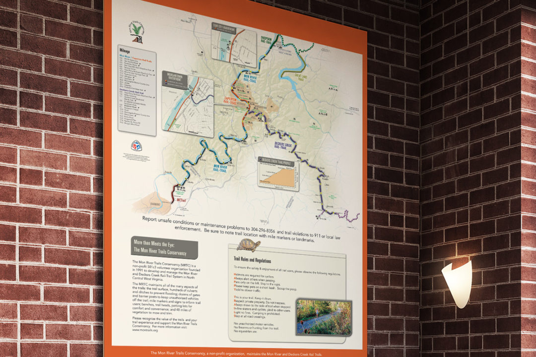
Laick Design recently completed the design and layout of the Mon River Trails Conservancy Rail-Trails map. This map is a detailed look of the rail-trails that run from the Southwest corner of Pennsylvania to Fairmont, W.Va.
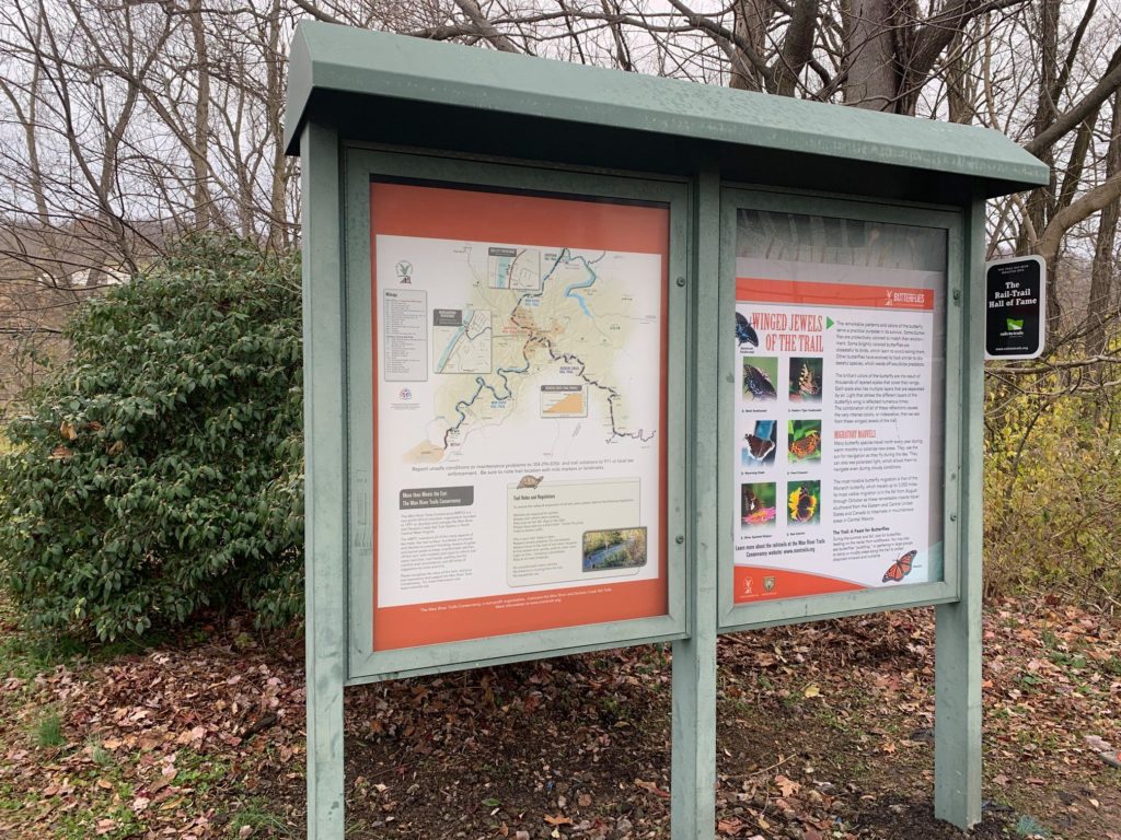
Unlike the water trail maps we completed last year, this map is just shown along the rail-trail system and it is not a physically printed map. However the detail and information displayed on the map is very beneficial for those using the trails as it displays picnic areas, restrooms, first-aid stations, water access, and detailed callouts for using the trail in downtown Morgantown, W.V.a
While this particular map is displayed along the Mon-River Trail, the overall rail-trail covers many rail-trails such as the Sheepskin Trail, the Caperton Rail-Trail, Deckers Creek Rail-Trail, the MC Trail, and the Cheat Lake Rail-Trail.
The map projects we have completed over the years (whether for water or for rail-trails) have been really exciting and challenging to work on and develop. But the real satisfaction is seeing others use the map for their trip along the trails.