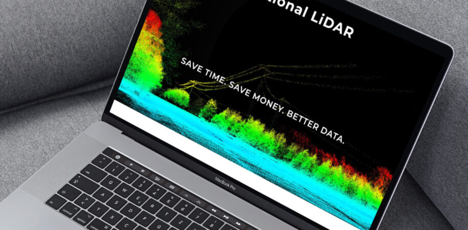
National LiDAR recently came to Laick Design looking for a way to get their services out to the eastern United States. For those who are unfamiliar with their offerings, LiDAR which stands for Light Detection and Ranging, is a remote sensing method that uses light in the form of a pulsed laser to measure ranges (variable distances) to the Earth.
Their services are used from property development, construction, surveying, mining and even asset integrity. Covering a very large base along the eastern United States they can accurately and quickly map and measure data points for your business no matter what the weather.
The website is a simple one page site that displays their info, services and includes a contact form and phone number for easy connectivity. Also included in the background of the site are images generated by their LiDAR devices.
This was a neat project to work on as it incorporated some new technology and something that Laick Design will be utilizing in a future project.
Check it out at http://nationallidar.com


